TMaps, the Tunisian mapping platform
Mapping, geocoding and routing APIs covering all of Tunisia. The product that earned MapWay its Startup Act label.
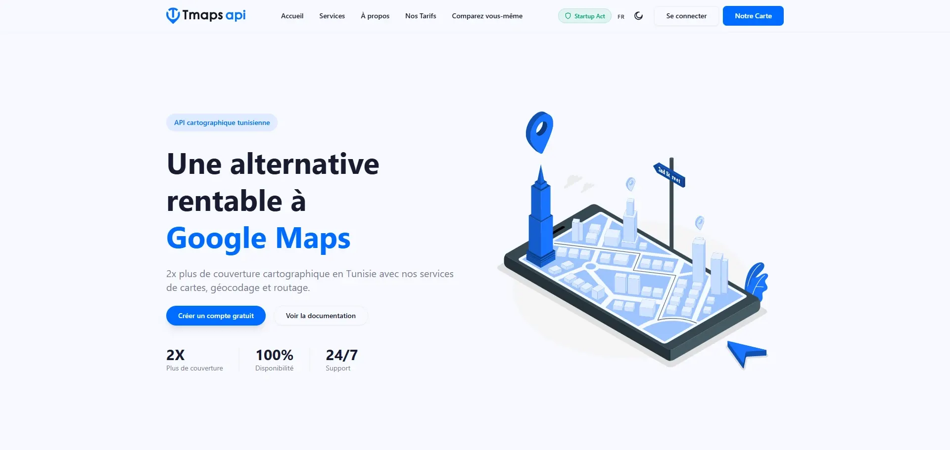
Global mapping services cover Tunisia poorly: approximate addresses, missing street names, routes that ignore the real road network. For any company handling deliveries, route planning or customer geolocation, that is a daily problem.
What we built
TMaps is a full mapping infrastructure designed for Tunisian territory. It exposes three service families through APIs: map rendering, geocoding (address to coordinates and back), and routing that accounts for the actual road network.
- PostgreSQL/PostGIS spatial database, continuously fed and corrected
- Vector tile server delivered through MapLibre
- Forward and reverse geocoding tuned for Tunisian address formats
- Routing engine with distance and duration matrices
- Developer console: API keys, quotas, usage analytics
Outcome
TMaps is now the mapping layer behind our other products and several client projects. Its innovative nature earned the Startup Act label awarded by the Tunisian government.
You may also like
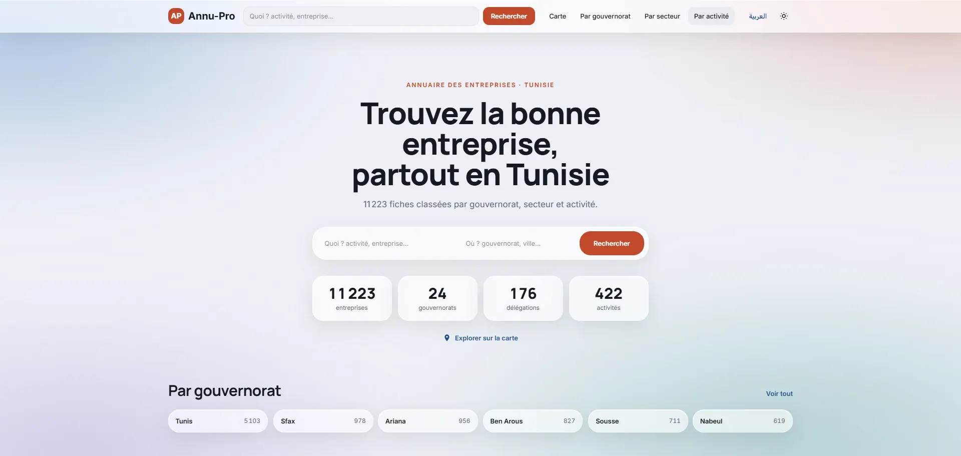
Annu-Pro, the Tunisian business directory
A professional directory to find Tunisian companies by governorate or industry, with map location.
View project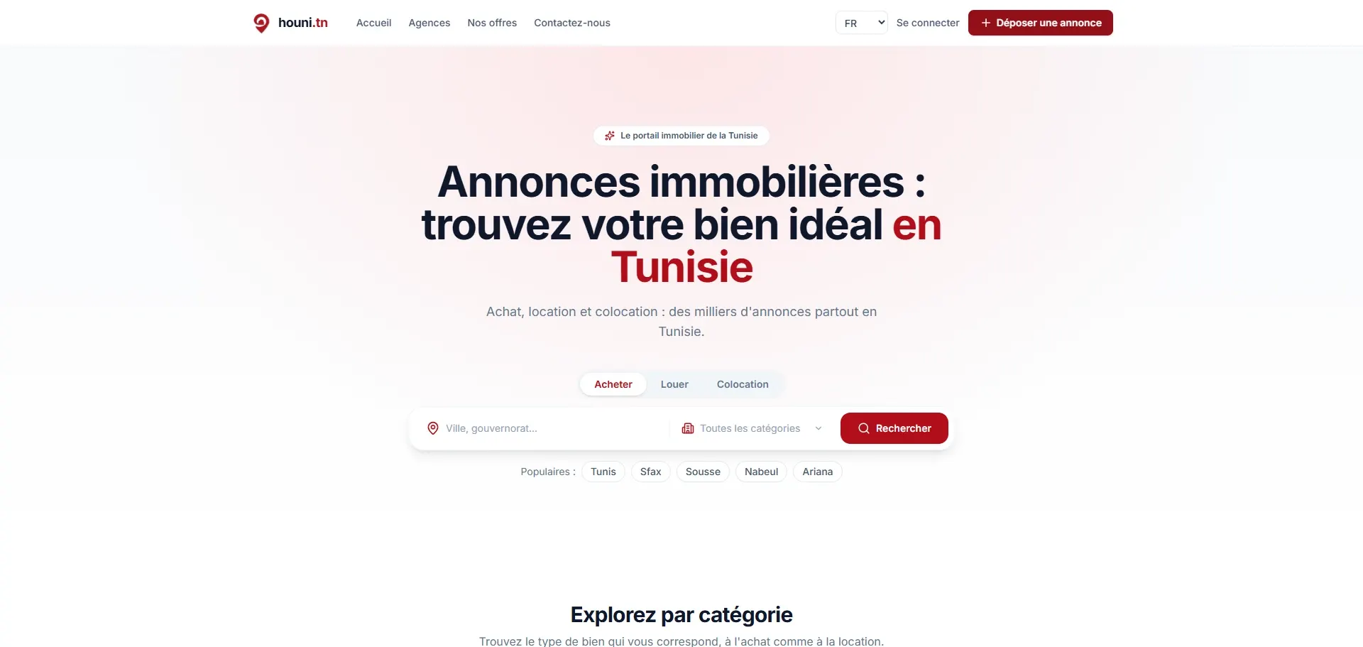
Houni.tn, find everything around you
A geolocation app listing local shops and services across Tunisia. Over 4,000 active users.
View project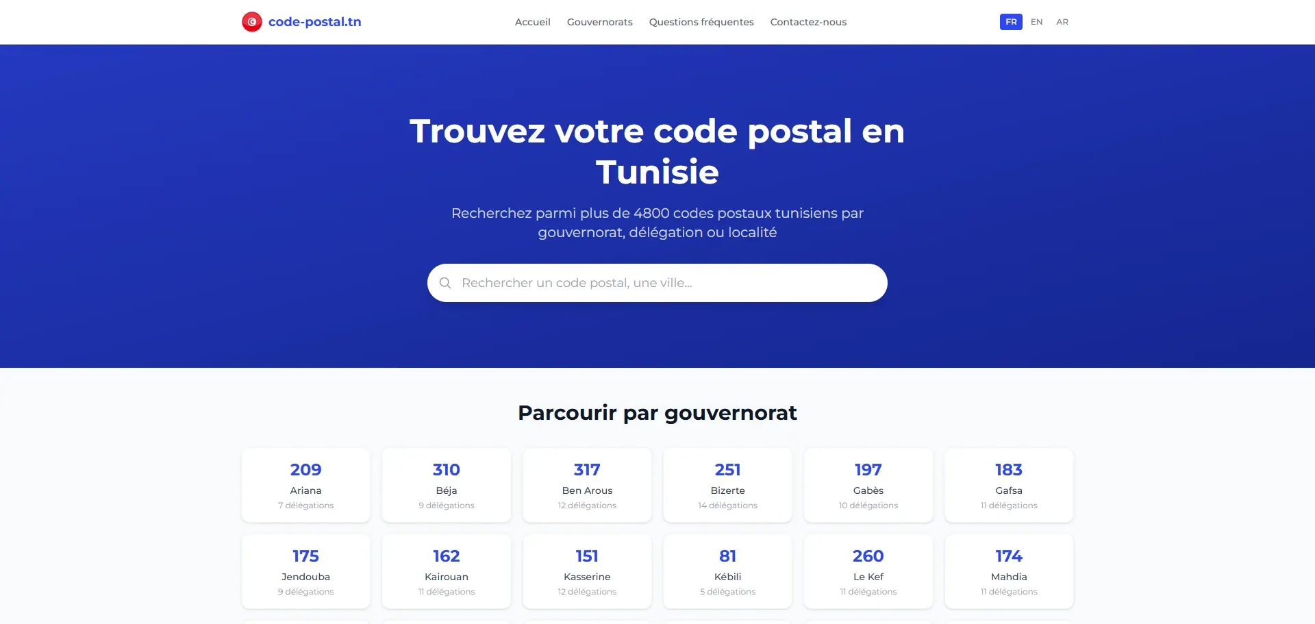
Code-Postal.tn, Tunisian postal codes
A free public service to instantly find any Tunisian postal code and locate it on a map. Built for speed and search visibility.
View projectGot a project in mind?
Let's talk. We reply within 24 h, with a free quote and no strings attached.